News Summary
On April 12, 2025, Florida experienced a sudden surge of thunderstorms that drenched cities across the peninsula, leading to heavy rainfall, gusty winds, and reported power outages. This storm was triggered by a cool front and a low-pressure area off the coast. As the rain subsides, residents can look forward to sunny days and warmer temperatures. However, drought conditions are rising, raising concerns about wildfires. The weekend promises a respite from storms, ensuring that residents can enjoy the outdoors in pleasant weather.
Severe Weather Hits Florida: Thunderstorms Leave Citizens Soaked but Sunshine is on the Horizon
As Florida geared up for another lovely April day, Mother Nature threw a bit of a curveball on April 12, 2025. The sunshine-loving residents found themselves facing a significant round of thunderstorms that swept across the peninsula, leaving many areas drenched and dealing with the aftermath of severe weather.
What Sparked the Storms?
This stormy episode was driven by a cool front making its way down from the north, dancing with a developing area of low pressure off Florida’s east coast. This dynamic duo resulted in gusty winds, pockets of hail, and even reported power outages in various locales, as the thunderstorm systems wreaked a bit of havoc.
Heavy Rainfall and Storm Impacts
In some regions, the rainfall was absolutely torrential! Thanks to organized storm systems, many Floridians were left diving for their umbrellas as heavy downpours soaked the ground. The cozy April weather was certainly disrupted, and those who encountered the storms quickly learned that Florida springtime can have its wild side!
Bright Days Ahead
But as the clouds dissipated, April 12 also gifted Florida with a transition back to beautiful weather. The following day promised stunning views with fair clouds and moderate temperatures, leaving no significant weather worries in sight. It’s safe to say that Floridians were rejoicing as they basked in the lovely sunshine once again!
Looking Into the Weekend
Hold onto your hats, folks, because we have news for the upcoming weekend: a large-scale weather pattern is on its way that will keep severe weather at bay! Current weather models, including the GFS, Euro, and NWS blend, all agree that significant rainfall is not expected until late April, around the 23rd and 24th. This brings the exciting prospect of a rain scarcity lasting up to 14 days, allowing us to soak in the lovely weather without worrying about wet conditions!
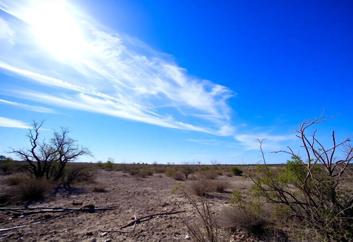
Drought Conditions on the Rise
Temperatures on the Rise
As we look at the upcoming days, temperatures are expected to climb, ushering in that all-too-familiar Florida summer heat. Easter weekend is shaping up nicely, promising warm and dry weather, with temperatures flirting between the upper 80s and low 90s! What better way to spend these sunny days than outside, soaking up the rays?
A Warm Work Week Ahead
The work week that follows looks equally delightful, maintaining those warm highs in the upper 80s. With plenty of sunshine to enjoy, it’s the ideal time to finish any spring projects or indulge in some outdoor fun. However, remain vigilant as a midweek cold front is predicted to roll in on Tuesday night, potentially cooling us down a notch.
In Conclusion
All in all, Florida’s weather may have tested our patience with those thunderstorms, but the bright days ahead are sure to lift our spirits! With a mix of sunshine and warmer temperatures coming our way, let’s make the most of this beautiful springtime season!
Deeper Dive: News & Info About This Topic
- Click Orlando: Severe Weather in Florida
- Wikipedia: Severe Weather
- WFTV: Great Weather in Central Florida
- Google Search: Florida Severe Weather April 2025
- Weather.com: Orlando 7-Day Forecast
- Encyclopedia Britannica: Weather
- Fox Weather: Orlando Weather Planning
- Google News: Florida Weather April 2025
- Click Orlando: Wonderful Weather Weekend
- Encyclopedia Britannica: Drought


